Saturday, October 12, 2013

Malibu

Malibu is a beach city in Los Angeles County, California, situated 30 miles (48 km) west of Downtown Los Angeles. Known for its Mediterranean climate, a 21-mile (34 km) strip of the Malibu coast incorporated in 1991 into the City of Malibu. The area is known for being the home of Hollywood movie stars, people in the entertainment industry, and other affluent residents.
Leo Carrillo State Park has 1.5 miles of beach for swimming, surfing, windsurfing, surf fishing and beach combing. The beach also has tide pools, coastal caves and reefs for exploring. Giant sycamores shade the main campgrounds. The park also features back-country hiking. The campground spaces were good sized. We had enough room for two cars to park right next to our tents, a table and a fire pit. I would recommend ear plugs as there were some people partying that I wish I could have blocked out.
Like you would imagine, this beach is much more wild and beautiful then the many busy and commercial beaches in Southern California. It has many cliffs, sea caves and tide pools that you can explore as well as 1.5 miles of sand to simply soak in the sun.
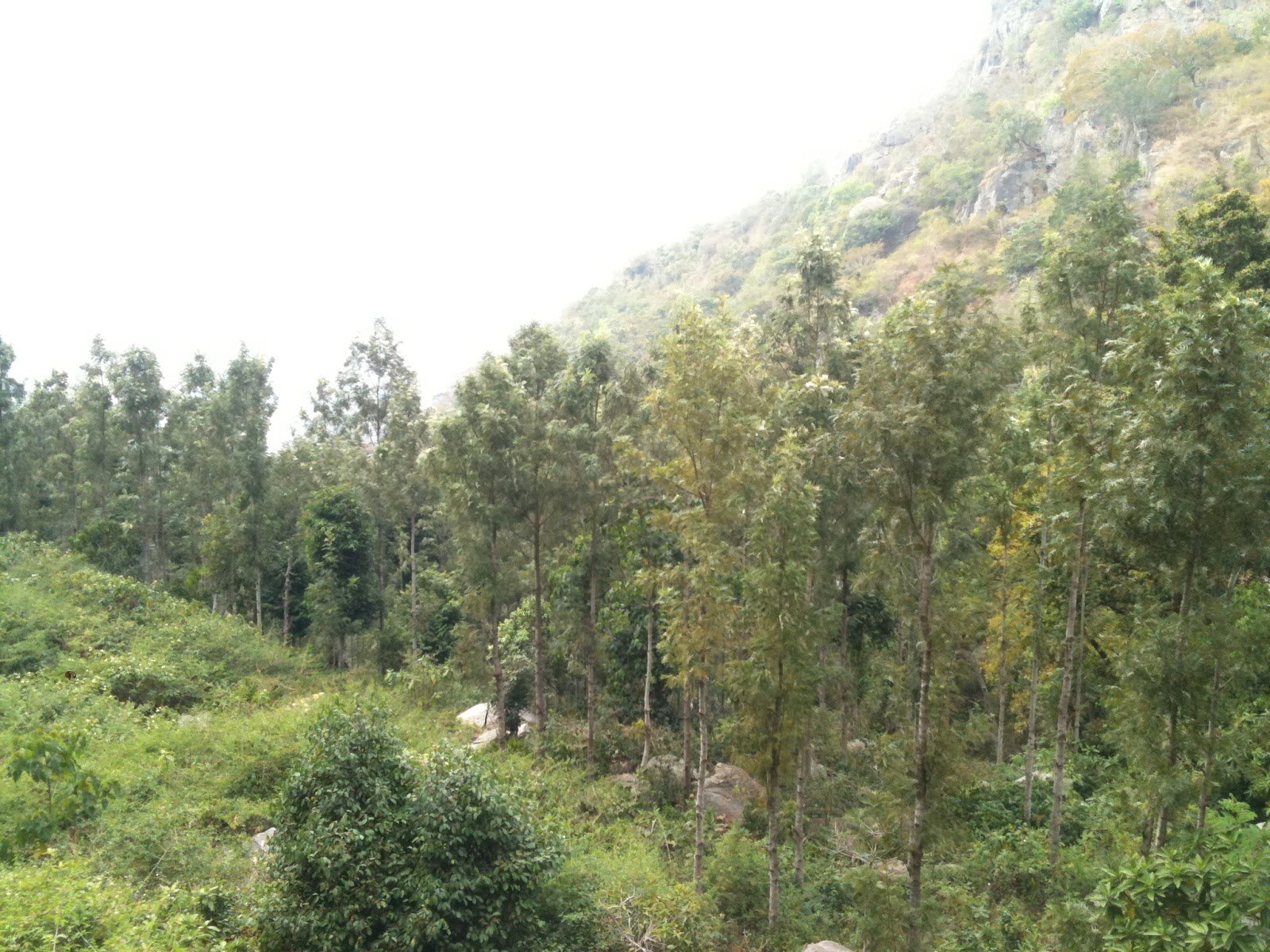
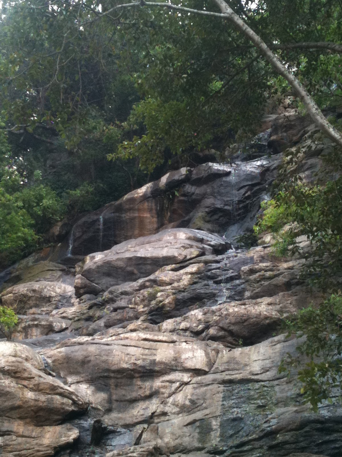
You can also go for a small hiking close to the campground. The views were amazing.


Sunday, September 1, 2013

Utha & Colorado

My friend Amuthan and I went for a road trip covering 5 states in 3 days. It was a fun trip. We stayed in Las Vegas the first day and drove to Arches National Park the next day and then to Colorado/New Mexico the following day.

Arches National Park is in Utah. It’s known as the site of more than 2,000 natural sandstone arches, such as the massive, red-hued Delicate Arch in the east. Long, thin Landscape Arch stands in Devils Garden to the north.
The Delicate Arch - The famous one in Utah.

We did a small hiking to the hanging lake in a Glenwood canyon which is 3.2 miles round trip.
Hanging Lake in Glendwood canyon

The Garden of the Gods is a public park located in Colorado Springs.
The Great Sand Dunes national park is situated in Colorado. This is the tallest sand dunes in North America, rising about 750 feet from the floor of San Luis Valley.


Wednesday, April 10, 2013

Coorg


Coorg - It is an administrative district in Karnataka, India. Before 1956 it was an administratively separate Coorg State, at which point it was merged into an enlarged Mysore State. It occupies an area of 4,102 square kilometers (1,584 sq mi) in the Western Ghats of southwestern Karnataka.

Talakaveri is the place that is generally considered to be the source of the river Kaveri. It is located by Brahmagiri hill near Bhagamandala in Coorg district, Karnataka, 1,276 m. above sea level. However, there is not a permanent visible flow from this place to the main river course except during the rainy season.

On Cauvery changrandi day (the first day of Tula Masa month , according to the Hindu calendar, which normally falls in mid October) thousands of pilgrims from neighboring flock to the river's birthplace to witness the rise of the fountainhead, when water gushes up from the spring at a predetermined moment. The cauvery changrandi (Sacred bath in the Tula month) is observed across pilgrim towns in Kaveri's banks.

Dubare is known for its elephant camp, a forest camp on the banks of the river Kaveri in the district of Coorg, Karnataka. It is an important base for the Karnataka Forest Department's elephants.
CAUVERY NISARGADHAMA

Nisargadhama is a breathtakingly beautiful island off the state highway, two km from Kushalanagar town and 28 km from Madikeri. The 64-acre island, surrounded by the Cauvery river, can be accessed by walking across a hanging bridge. Established in 1989, the picturesque picnic spot with lush foliage of thick bamboo groves, sandalwood and teak trees has lovely river-side cottages.

Bylakuppe is an area in Karnataka which is home to the Indian town Bylakuppe and several Tibetan settlements, established by Lugsum Samdupling (in 1961) and Dickyi Larsoe (in 1969). It is located to the west of Mysore district in the Indian state of Karnataka which is roughly 80 km from Mysore city. It also shares the border with Eastern part of Coorg district.

Tuesday, February 12, 2013

Yercaud

Yercaud is a hill station in Salem District, Tamil Nadu, India. It is located in the Shevaroys range of hills in the Eastern Ghats. It is situated at an altitude of 1515 metres (4970 ft) above sea level, and the highest point in Yercaud is the Servarayan temple, at 5,326 feet (1,623 m).
The below picture was taken in Yercaud Lake. The Yercaud Lake is undoubtedly one of the not-to-miss places to see in Yercaud. Providing stunning, panoramic views of the hills and lush green lawns of this hill station, this Lake also barges out as one of the most sought after destinations in Yercaud.
There are many places that you can go for trekking. There is a waterfall named 'Kiliyur Waterfall' near Yercaud big lake. Since this waterfall is located close to the Yercaud Lake, while travelling to the waterfall, the visitors can also visit the other places and can have the fun of a picnic and boating activities.

The Servaroyan Temple is one of the best places to visit in Yercaud. Located at the highest point of this hill station, the temple offers incredible insight into the spiritual development of this region.

Away from the bustling life of Yercaud, the Pagoda Point is the perfect getaway to embrace the mind with solace and tranquility.

Silk farm and Rose Garden, Located two kilometers off Yercaud, this is a sightseeing activity destination, which is also considered as an offbeat destination for the travelers.

Deer Park - for all the nature and animal lovers as well as those who has kids in their family; especially kids who holds a gleeful aspect for animals, this park is must-to-visit place in Yercaud.