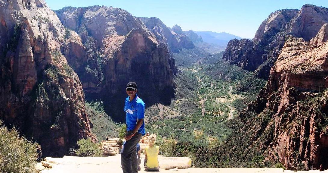
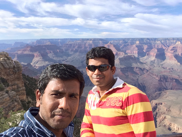
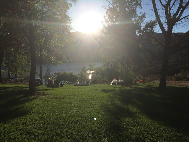
The Hollywood Sign hike is one of those iconic hikes that you need to do at least once. Not only will you hike to the Hollywood Sign, but you'll get some spectacular views of LA along the way. It's a 4 mile round trip if you start from Beachwood drive, Los Angeles.
Thursday, December 31, 2015
Sunday, October 11, 2015
Sunday, September 27, 2015
Saturday, September 19, 2015
Half Dome - Hiking
Half Dome is a granite dome at the eastern end of Yosemite Valley in Yosemite National Park, California. It is a well-known rock formation in the park, named for its distinct shape. One side is a sheer face while the other three sides are smooth and round, making it appear like a dome cut in half. The granite crest rises more than 4,737 ft above the valley floor.
Get a permit: Due to the popularity of the hike up Half Dome, Yosemite National Park has instituted a permit system. Reservations are required seven days a week and there are no first-come first-serve permits available. The 400 daily openings fill up as quickly as the park releases them, demonstrating the popularity of the trail.
Prepare for chains: To climb the dome itself, you will ascend 400 feet of exposed granite at a roughly 60-degree angle. A walkway of planks and cable hand railings is used to ascend the steep rock. Bring gloves for a comfortable grip of the braded-fiber steel cables. The chains to the summit are taken down during the winter, so plan your hike between late May and early October.

My friend Jagan Bhuvan and I drove to Yosemite National Park on September 18 2015 (One day before our hike). We stayed in Half Dome Village's heated tent for two nights. Good location in Yosemite Valley - about 5 mins walk to restaurants, food court, grocery store and shuttle bus stop. It's also walk able to the Mist Trail. It was nice to stay inside of the national park - saved us much travel time.
We had our dinner early at around 6'o clock and went to bed at around 8:30PM so that we can have 8 hours of sleep, because we had to wake up at around 4 and had to be on the trail head before 6'o clock.

From Happy Isles Shuttle Stop in Yosemite Valley, turn left and cross the Merced River to the start of the Mist Trail. Turn right and begin the slog. There are views of Yosemite Falls and Illilouette Fall over the first mile to the Vernal Fall Footbridge. Across the bridge, you will find bathrooms and a water fountain. Continue along the bank of the river another quarter mile to the junction with John Muir Trail. Straight ahead, the Mist Trail climbs steep steps alongside Vernal Fall.

When you reach the start of the steps that lead to the top of Vernal Falls, you will notice a lot of mist will start to fall on you from the roaring waterfall, thus the mist trail. But, unfortunately we went during the off season when there is not much water on the waterfall, we didn't see the mist.


Once you get about 3/4th of the way to the top of Vernal Falls you will reach the Mist Trail Cables. All this is is a small uneven trial cut out the side of the mountain that provides a way for you to actually climb up above Vernal Falls. It has cables to help you steady yourself as you will be walking over large rocks.


After passing Vernal Falls and the Emerald Pool you will get to the bottom of Nevada Falls and start the trail up. This trail is pretty much all switchbacks and you gain a lot of elevation, but as you go in and out of the trees you are treated with great views of the falls.

The trail enters into “the never-ending forest.” It literally seems like it goes on forever, on the way up and on the way down as well. That being said it is beautiful and has lots of huge trees, many with moss-covered branches.


After passing the backpackers campground you will enter the forest and see your first view of the end goal. It looks daunting but at least you are almost half way there.


If you have heard of the Half Dome Trail, the two things you have probably heard about on this trip are the cables and the sub dome. The sub dome is a glorified, mini granite dome that is connected to the back of Half Dome and serves to destroy your legs before you reach the cables.

You have now reached the moment of truth. You can see the cables right in front of you, and they are all that is stopping you from reaching the summit. Don’t be disappointed if you turn around at the cables, it is really scary, no pictures can do justice to what it looks like in real life. It is essentially a 45 degree angle in the beginning, what seems like a 60 degree angle in the middle and then another 45 degree angle at the end. In the middle there are also granite steps of around a foot that you will need to step up onto while pulling yourself up with the cables. What makes this worse is that if you happened to slide off, there is a good chance you would be seriously, if not fatally hurt. Remember you have to go down as well so take your time and don’t let the people or the views rush you if you are not ready.

The summit is really worth the craziness you put in to get here. It is about the size of seven football fields and is really a lot larger than I would have expected. It is a great place to have lunch and just soak in the views.


One of the best things about Yosemite is how wild it still feels even with the amount of people there. We were simply walking along the trail and saw a deer.

Do not underestimate this hike. It is around 17 miles long and has over 4500 feet of elevation gain. If you are looking to take it down, get a permit, train for months in advance, bring gloves and start early.
Sunday, August 23, 2015
America Finest City Half Marathon 2015
America's Finest City (AFC) Half Marathon is the running race (13.1 Miles or 21 KMs) conducted by San Diego community. It is the third and final race of the famous 'Triple Crown Series". For the first time, I participated in a running race and thanks to Jagan for that motivation. Finished the 13.1 miles in 2 hours 37 minutes.
With my friend Jagan Bhuvan
The course starts from Point loma and ends in Balboa park.Sunday, July 26, 2015
Potatao Chip Hiking
Potato Chip Rock is located at the peak of Mount Woodson in Poway, California. Recently, the hike has become popular due hikers posting creative images on Facebook and Instagram. The hike is approximately 8 miles roundtrip, and during the summer months, it is recommended to start early in the morning due to Poway’s hot desert climate.
The first half of the trail is pretty much an uphill climb, where you’ll find the Potato Chip Rock at the very top. Don’t be surprised if you find a line of people waiting to take their picture on this popular rock! Then, you’ll descend the same trail on your way down. Obviously, you’ll find that going down is a lot faster than going up the trail.
Once you get to the top of the mountain, Potato Chip Rock offers an unforgettable background to take pictures. It looks like you’re on the ledge of a cliff (which you basically are). The views and scenery from the top of the mountain are epic! Definitely bring your camera. Also, the uphill climb is challenging for even experienced hikers, so bring plenty of water.
Early Morning drive from San Diego.With my friend Jagan Bhuvan - My Hiking and Running Guru.
Poway Lake
There you go. You have to wait for 30 minutes in the queue to get the picture. Its that crowded. So we just took the photo infront of the rock and returned back.
Subscribe to:
Comments (Atom)


