Cucamonga Peak, at 8,862 feet (2,701 m) is one of the highest peaks of the San Gabriel Mountains, and is located in San Bernardino County, California. It is within the Cucamonga Wilderness of the San Bernardino National Forest. The climb is tough, but not brutal; the scenery and views are awesome.
Use this address in Google Maps to get to the trail head:
The Cucamonga Peak hike starts at the Icehouse Canyon trail head, at the far end of the parking lot. Hiking permits are in the box in front of the trailhead sign. Fill the hiking permit out, take the yellow copy with you, and drop the white copy in the slot on the side of the box. If there’s no permits left, fill out your info on a blank piece of paper and leave it in the box.


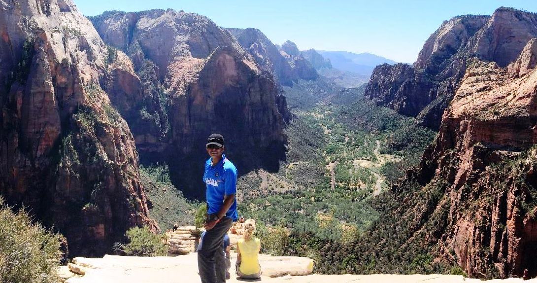
With my hiking buddies, Rahul, Satish and Prashant.

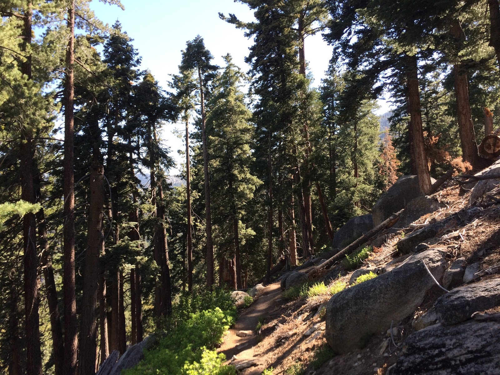
The trail steepens and traverses several switchbacks.

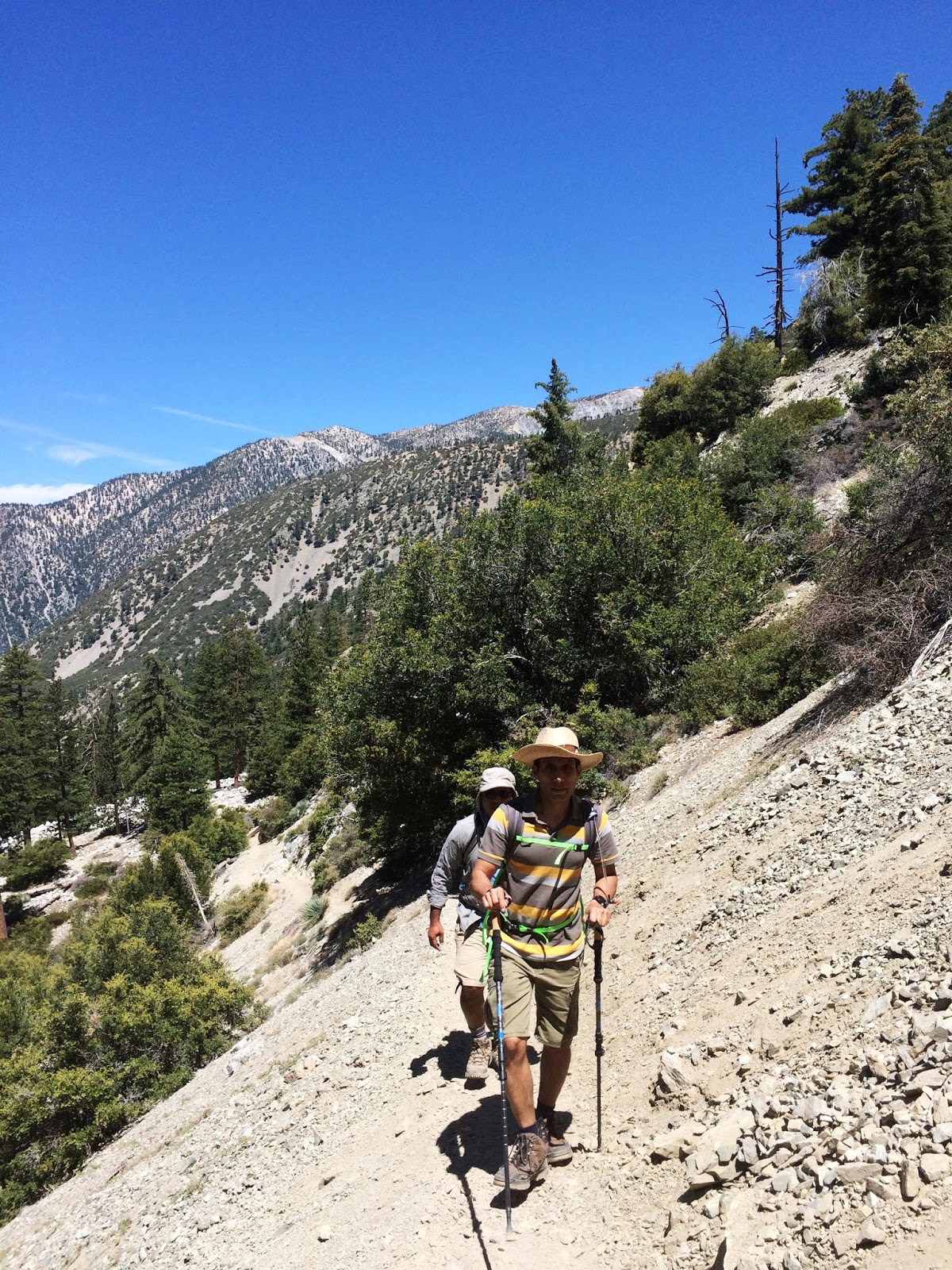

At around 3.6 miles, you approach Icehouse Saddle.


The summit has tons of cool rock formations to take pictures on. The views are incredible.