Sunday, July 24, 2016

Mount Baldy - Hiking

Mount San Antonio, colloquially referred to as Mount Baldy, is the highest peak of the San Gabriel Mountains, and the highest point in Los Angeles County, California. The Mt Baldy hike brings you to the highest point in LA at 10,064 feet. With about 4000 feet of climbing, it's a tough yet popular hike, and well worth the effort.
Use this address in Google Maps to get to the trail head:
Manker Campground, Mt Baldy, CA, 91759, USA

At the first switchback, you can see San Antonio Falls to the left.
At about 2.4 miles, you’ll see the ski lift to Mt Baldy Notch.
Mt Baldy Notch is a great place for a break.
From Mt Baldy Notch
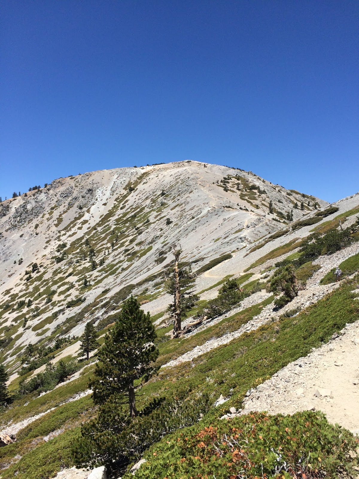
Here is the famous Devil’s Backbone Trail. As you hike along the the saddle of the mountain, the mountain drops hundreds of feet down on either side.
With Satish
Congratulations, you have reached the summit...)
The view is stunning from the top


Sunday, July 17, 2016

Mount Wilson - Hiking

Mount Wilson is one of the better-known peaks of the San Gabriel Mountains, located within the San Gabriel Mountains National Monument and Angeles National Forest in Los Angeles County, California.
This Mt Wilson hike starts at Chantry Flat and gradually makes it way to the summit.

Use this address in Google Maps to get to the trail head:

At about 0.6 miles, you get to the bottom. Hike across the bridge.
You can see Sturtevant Falls.
After 3.5 miles, you reach Spruce Grove Campground.

You have reached the top of Mt.Wilson
Check out the Mt Wilson Observatory. There is a visitors center in the big, 100 inch telescope building.
Grab a bite at the Cosmic Cafe to fuel up for the rest of the hike.