Friday, September 30, 2016

Bryce Canyon National Park - Utah

There is no place like Bryce Canyon. Hoodoos (odd-shaped pillars of rock left standing from the forces of erosion) can be found on every continent, but here is the largest collection of hoodoos in the world. An imagination of wonder will serve you when visiting the Bryce Canyon National Park (BCNP) which is located in Utah just 250 miles from Las Vegas.

The view from Sunset Point
Park your vehicle at the visitor center and take the shuttle to go to different view points. BCNP has a shuttle service. Please see their websites for the timing. I would recommend to get down at Sunset point and start from there. The below picture was taken at Sunset point. There is a rim trail that goes from Sunset point to Sunrise point on left and Inspiration point to Bryce point on right.
The view from start of Queen's Garden Loop
Once you get down at Sunset point, walk towards Sunrise point. At 0.9 mile from Sunrise point, you will see a trail going to Queens garden trail. The below picture was taken at this point. The queens garden trail is around 0.8 miles.
The "Queen Victoria"
At around 0.5 mile from Queens garden trail, you will see a hoodoo which looks like Queen Victoria. (Use your imagination) - The left most one is Queen Victoria..)
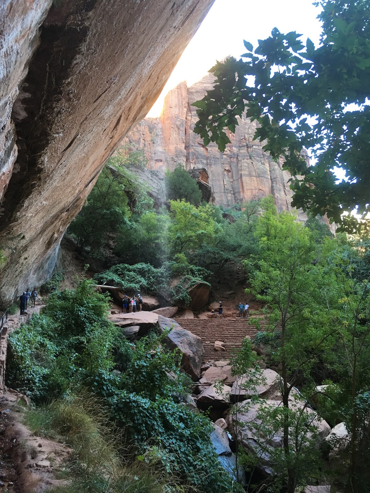
The view from Peakaboo Trail
At around 0.8 miles in Queens Garden trail, you will see a 4 way intersection down at the bottom of the canyon. If you continue straight ahead, you will reach wall street which will return you back to Sunset point. But if you have time (2 hours roughly), take a Peakaboo loop trail which is 3 miles round trip. The below pictures were taken along the Peakaboo loop trail.
The view from Wall Street
Once you complete the Peakaboo loop, you will start hiking the Wall street which is only 0.6 miles, but you have an amazing view. This is where you really feel that you are into the canyon.

After the wall street, you will reach the Sunset point where you started your hike.

The view from Inspiration Point
If you want to see the Inspiration point (the tallest point at BCNP), keep walking right and at 0.7 miles you will see the Inspiration point. The below picture was taken from the Inspiration point. From here, you can walk right for 1.5 miles and you will reach the Bryce point.
As the name suggest, the best place to view the Sunrise is at the sunrise point and Sunset is at the sunset point. The shuttle connects all the view points. The below picture was taken during Sunset from sunset point. It was not that great as the light didn't fall into the canyon.
Below picture depicts the different view points and the shuttle stops.

Sunday, September 18, 2016

Zion National Park - Utah

Zion National Park is located in the Southwestern United States, near Springdale, Utah. A prominent feature of the 229-square-mile (590 km2) park is Zion Canyon, which is 15 miles long and up to half a mile deep, cut through the reddish and tan-colored Navajo Sandstone by the North Fork of the Virgin River.

The below picture was taken in 'The Narrows'. The Narrows is the narrowest section of Zion Canyon. This gorge, with walls a thousand feet tall and the river sometimes just twenty to thirty feet wide, is one of the most popular areas in Zion National Park. You can see The Narrows by hiking along the paved, wheelchair accessible Riverside Walk for one mile from the Temple of Sinawava. If you wish to see more, you will be walking in the Virgin River. This can involve wading upstream for just a few minutes or it can be an all day hike.
Bottom Up Hike
Hiking in 'The Narrows' upstream does not require a permit. Doing the hike this way allows you to see some of the most spectacular and narrowest parts of the canyon. You can hike in the river for an hour and have a great experience, or you can hike as far as Big Spring, a strenuous, ten-mile round trip, all-day adventure.
A hike through The Narrows requires hiking in the Virgin River. You must get your feet wet since there is no trail. Most people choose to start their hike from the Temple of Sinawava via the Riverside Walk and then walk upstream before turning around and hiking back down to the Temple of Sinawava.
Zion Lodge The only lodge in the Zion - The gateway to the very famous hike, 'The Emarald Pools'. You can have a food or drinks after a moderate hike to the Emerald pool - A 2-3 miles round trip hike to the lower/middle and upper emerald pools.
Emerald Pools
Upper Emerald Pool
Upper Emerald Pool's view is amazing that no picture can do justice. All 4 sides having a tall mountain and you have a very small pool in the middle. What a lovely place!!!
Angeles Landing
Angels Landing is a 1,488-foot (454 m) tall rock formation. A trail, cut into solid rock in 1926, leads to the top of Angels Landing and provides a spectacular view of Zion Canyon.
One of the most famous and dangerous hikes in the entire world. If you are afraid of heights, please stay away from this hike. Because, in the last half a mile hike, you see 800/1200 feet deep on both the sides with only 2-4 feet wide in the middle.
Does it looks more scary? Yes, it does..)
The opposite side of the Zion Canyon.
The amazing view of Zion canyon from the top of Angels Landing.
After the strenuous hike (6 miles round trip), just remove your shoes and put your legs on the water, your legs will say thank you...)
The map of the Zion National Park's shuttle stop and important view points. To go to 'The Narrows', get down at 'Temple of Sinawava'. To Angels Landing, get down at 'The Grotto'. To the Emerald Pools, get down at 'Zion Lodge'.

Sunday, September 4, 2016

Grand Canyon National Park - Arizona

Grand Canyon National Park is the United States' 15th oldest national park. Named a UNESCO World Heritage Site in 1979, the park is located in northwestern Arizona. The park's central feature is the Grand Canyon, a gorge of the Colorado River, which is often considered one of the Seven Natural Wonders of the World.
The majority of visitors to the South Rim first gaze over the Grand Canyon at Mather Point; Although other places have slightly better views, Mather is the number one choice as it is close to the entrance station and a short walk from the visitor center.
My favorite in Grand Canyon is the Sun Set. You can walk along the rim from the Mather point to Yavapai point and enjoy the view on each step.
Sunrise is also good, but I prefer Sunset.
Next day morning, we went for a small hiking into the Canyon through Kaibab Trailhead. It was awesome to see the canyon from the bottom.
The Shuttle stops and the important view points: